43:
408:
420:
432:
292:
298:
137:
303:
99:
715:
685:
655:
535:"}},"text\/plain":{"en":{"":"copyright license"}}},"{\"value\":{\"entity-type\":\"item\",\"numeric-id\":19113751,\"id\":\"Q19113751\"},\"type\":\"wikibase-entityid\"}":{"text\/html":{"en":{"P275":"
491:"}},"text\/plain":{"en":{"":"copyright status"}}},"{\"value\":{\"entity-type\":\"item\",\"numeric-id\":50423863,\"id\":\"Q50423863\"},\"type\":\"wikibase-entityid\"}":{"text\/html":{"en":{"P6216":"
579:"}},"text\/plain":{"en":{"":"media type"}}},"{\"value\":\"image\\\/png\",\"type\":\"string\"}":{"text\/html":{"en":{"P1163":"image\/png"}},"text\/plain":{"en":{"P1163":"image\/png"}}}}": -->
575:
901:
344:– You must give appropriate credit, provide a link to the license, and indicate if changes were made. You may do so in any reasonable manner, but not in any way that suggests the licensor endorses you or your use.
65:
61:
57:
53:
47:
110:
78:
732:{{Information |Description= {{de|1=Ausschließliche Wirtschaftszonen (EEZ) im Atlantischen und im Indischen Ozean}} {{en|1=Territorial waters (EEZ) of the Atlantic and Indian Ocean}} |Source = {{own using}}
389:
Sie müssen das Bild unter gleichen
Bedingungen weitergeben. Wenn sie das Bild abändern oder Arbeiten auf diesem Bild aufbauen, müssen Sie das Ergebnis aus dieser Arbeit ebenfalls unter diese Lizenz stellen.
916:
536:
492:
576:
488:
532:
714:
709:
684:
679:
871:
806:
163:
for more information. If an SVG form of this image is available, please upload it and afterwards replace this template with
407:
160:
539:"}},"text\/plain":{"en":{"P275":"Creative Commons Attribution-ShareAlike 2.5 Generic"}}}}": -->
275:
654:
649:
69:
42:
419:
562:
518:
179:
It is recommended to name the SVG file “Map of the
Territorial Waters of the Atlantic and Indian Ocean.svg”—then the template
929:
This file contains additional information, probably added from the digital camera or scanner used to create or digitize it.
773:
351:
245:
744:) |Permission={{self|cc-by-sa-2.5}} Sie dürfen das Bild zu den folgenden Bedingungen nutzen: * Sie müssen den Namen des...
733:
586:
502:
180:
166:
546:
477:
431:
768:
313:
932:
If the file has been modified from its original state, some details may not fully reflect the modified file.
891:
386:
Im Falle einer
Verbreitung müssen Sie anderen die Lizenzbedingungen, unter die dieses Bild fällt, mitteilen.
350:– If you remix, transform, or build upon the material, you must distribute your contributions under the
495:"}},"text\/plain":{"en":{"P6216":"copyrighted"}}}}": -->
154:
754:
The following pages on the
English Knowledge use this file (pages on other projects are not listed):
392:
Jede dieser
Bedingungen kann nach schriftlicher Einwilligung des Rechtsinhabers aufgehoben werden.
763:
118:
310:
8:
105:
467:
285:
I, the copyright holder of this work, hereby publish it under the following license:
758:
150:
741:
737:
665:
263:
259:
219:
184:
851:
861:
816:
841:
831:
596:
556:
512:
725:
695:
249:
881:
622:
Click on a date/time to view the file as it appeared at that time.
209:
Map of the
Territorial Waters of the Atlantic and Indian Ocean.png
791:
826:
796:
379:
Sie dürfen das Bild zu den folgenden
Bedingungen nutzen:
227:
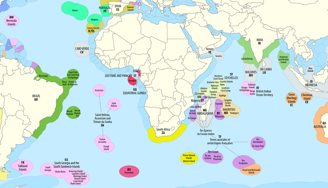
Territorial waters (EEZ) of the
Atlantic and Indian Ocean
93:
461:
Add a one-line explanation of what this file represents
752:
83:(2,919 × 1,676 pixels, file size: 588 KB, MIME type:
782:
736:
by {{U|B1mbo}} |Date = see file history |Author =
620:
117:
Commons is a freely licensed media file repository.
563:
Creative
Commons Attribution-ShareAlike 2.5 Generic
537:
Creative Commons Attribution-ShareAlike 2.5 Generic
361:https://creativecommons.org/licenses/by-sa/2.5
98:
367:Creative Commons Attribution-Share Alike 2.5
291:
270:
232:
206:
399:
255:
240:
14:
327:– to copy, distribute and transmit the work
784:The following other wikis use this file:
159:. This has several advantages; see
383:Sie müssen den Namen des Autors nennen.
129:
774:Exclusive economic zone of Sri Lanka
131:
613:
314:Attribution-Share Alike 2.5 Generic
302:
297:
13:
927:
466:
460:
288:
284:
221:
213:
142:
130:
76:
961:
934:
902:Исключительная экономическая зона
465:
769:Exclusive economic zone of India
753:
451:
430:
418:
406:
338:Under the following conditions:
309:This file is licensed under the
301:
296:
290:
135:
97:
31:
21:
448:
222:
779:
617:
447:
214:
26:
1:
832:Benutzer:Chumwa/SomeOfMyFiles
36:
749:
473:Items portrayed in this file
7:
924:
813:Usage on ast.wikipedia.org
10:
966:
912:భారతదేశ స్వంత ఆర్థిక మండలం
908:Usage on te.wikipedia.org
898:Usage on ru.wikipedia.org
888:Usage on ja.wikipedia.org
878:Usage on it.wikipedia.org
868:Usage on hi.wikipedia.org
858:Usage on fr.wikipedia.org
852:Yksinomainen talousvyöhyke
848:Usage on fi.wikipedia.org
838:Usage on es.wikipedia.org
823:Usage on de.wikipedia.org
803:Usage on ar.wikipedia.org
788:Usage on af.wikipedia.org
672:Comoros not part of France
352:same or compatible license
203:
198:
147:image could be re-created
862:Zone économique exclusive
614:
413:Atlantic and Indian Ocean
161:Commons:Media for cleanup
16:
882:Zona economica esclusiva
842:Zona económica exclusiva
817:Zona económica esclusiva
450:
318:
181:Vector version available
167:vector version available
104:This is a file from the
41:
764:Exclusive economic zone
731:
701:
671:
235:
108:. Information from its
111:description page there
46:Size of this preview:
938:Horizontal resolution
738:Maximilian Dörrbecker
710:19:18, 29 August 2018
680:05:46, 4 October 2018
260:Maximilian Dörrbecker
807:منطقة اقتصادية خالصة
187:) does not need the
70:2,919 × 1,676 pixels
946:Vertical resolution
333:– to adapt the work
52:Other resolutions:
917:భారతదేశ సరిహద్దులు
66:1,280 × 735 pixels
62:1,024 × 588 pixels
953:
952:
792:Atlantiese Oseaan
780:Global file usage
747:
650:09:06, 2 May 2023
547:copyright license
533:copyright license
459:
444:
443:
279:
276:Reusing this file
196:
195:
126:
125:
106:Wikimedia Commons
32:Global file usage
957:
935:
759:Borders of India
722:
692:
662:
624:
503:copyright status
489:copyright status
457:
434:
422:
410:
374:
371:
368:
365:
362:
354:as the original.
311:Creative Commons
305:
304:
300:
299:
294:
293:
273:
244:Own work using:
236:see file history
226:
218:
210:
204:
174:
139:
138:
132:
122:
101:
100:
94:
88:
86:
73:
58:640 × 367 pixels
54:320 × 184 pixels
48:800 × 459 pixels
965:
964:
960:
959:
958:
956:
955:
954:
923:
827:Benutzer:Chumwa
778:
755:
748:
728:
720:
698:
690:
668:
660:
616:
615:
612:
611:
610:
609:
608:
607:
606:
605:
603:
593:
592:
591:
589:
574:
573:
572:
571:
570:
569:
568:
567:
565:
553:
552:
551:
549:
530:
529:
528:
527:
526:
525:
524:
523:
521:
509:
508:
507:
505:
486:
485:
484:
483:
482:
480:
464:
463:
462:
445:
438:
435:
426:
423:
414:
411:
377:
376:
375:
372:
369:
366:
363:
360:
359:
317:
306:
287:
286:
228:
220:
208:
201:
192:
164:
151:vector graphics
136:
128:
127:
116:
115:
114:is shown below.
90:
84:
82:
75:
74:
51:
12:
11:
5:
963:
951:
950:
947:
943:
942:
939:
926:
922:
921:
920:
919:
914:
906:
905:
904:
896:
895:
894:
886:
885:
884:
876:
875:
874:
872:भारत की सीमाएँ
866:
865:
864:
856:
855:
854:
846:
845:
844:
836:
835:
834:
829:
821:
820:
819:
811:
810:
809:
801:
800:
799:
797:Indiese Oseaan
794:
781:
777:
776:
771:
766:
761:
751:
746:
745:
730:
726:
723:
719:2,919 × 1,676
717:
712:
707:
704:
703:
700:
696:
693:
689:2,919 × 1,676
687:
682:
677:
674:
673:
670:
666:
663:
659:2,919 × 1,676
657:
652:
647:
643:
642:
639:
636:
633:
630:
627:
619:
604:
601:
599:
598:
597:
595:
594:
590:
585:
583:
582:
581:
580:
578:
566:
561:
559:
558:
557:
555:
554:
550:
545:
543:
542:
541:
540:
538:
534:
522:
517:
515:
514:
513:
511:
510:
506:
501:
499:
498:
497:
496:
494:
490:
481:
476:
474:
471:
470:
469:
468:
456:
455:
452:
449:
442:
441:
440:
439:
436:
429:
427:
424:
417:
415:
412:
405:
401:
400:Other versions
397:
396:
394:
393:
390:
387:
384:
358:
357:
356:
355:
345:
336:
335:
334:
328:
321:You are free:
308:
307:
289:
283:
282:
280:
268:
267:
257:
253:
252:
242:
238:
237:
234:
230:
229:
211:
202:
200:
197:
194:
193:
189:new image name
171:new image name
140:
124:
123:
102:
92:
91:
45:
40:
39:
34:
29:
24:
19:
9:
6:
4:
3:
2:
962:
948:
945:
944:
940:
937:
936:
933:
930:
918:
915:
913:
910:
909:
907:
903:
900:
899:
897:
893:
890:
889:
887:
883:
880:
879:
877:
873:
870:
869:
867:
863:
860:
859:
857:
853:
850:
849:
847:
843:
840:
839:
837:
833:
830:
828:
825:
824:
822:
818:
815:
814:
812:
808:
805:
804:
802:
798:
795:
793:
790:
789:
787:
786:
785:
775:
772:
770:
767:
765:
762:
760:
757:
756:
743:
739:
735:
729:
724:
718:
716:
713:
711:
708:
706:
705:
699:
694:
688:
686:
683:
681:
678:
676:
675:
669:
664:
658:
656:
653:
651:
648:
645:
644:
640:
637:
634:
631:
628:
626:
625:
623:
600:
588:
584:
564:
560:
548:
544:
520:
516:
504:
500:
479:
475:
472:
453:
446:
433:
428:
425:Pacific Ocean
421:
416:
409:
404:
403:
402:
398:
391:
388:
385:
382:
381:
380:
364:CC BY-SA 2.5
353:
349:
346:
343:
340:
339:
337:
332:
329:
326:
323:
322:
320:
319:
315:
312:
295:
281:
277:
272:
269:
265:
261:
258:
254:
251:
247:
243:
239:
231:
225:
217:
212:
205:
190:
186:
182:
178:
177:
172:
168:
162:
158:
156:
152:
146:
141:
134:
133:
120:
113:
112:
107:
103:
96:
95:
89:
80:
79:Original file
71:
67:
63:
59:
55:
49:
44:
38:
35:
33:
30:
28:
25:
23:
20:
18:
15:
931:
928:
783:
621:
618:File history
378:
347:
341:
330:
324:
223:
215:
188:
176:
170:
148:
144:
119:You can help
109:
77:
22:File history
519:copyrighted
493:copyrighted
348:share alike
342:attribution
207:Description
949:196.85 dpc
941:196.85 dpc
750:File usage
635:Dimensions
587:media type
577:media type
271:Permission
191:parameter.
27:File usage
667:Lasunncty
632:Thumbnail
629:Date/Time
602:image/png
437:Caribbean
224:English:
216:Deutsch:
85:image/png
925:Metadata
734:this map
721:(797 KB)
691:(799 KB)
661:(588 KB)
454:Captions
331:to remix
325:to share
316:license.
246:this map
37:Metadata
892:排他的経済水域
646:current
641:Comment
478:depicts
458:English
199:Summary
81:
742:Chumwa
727:Chumwa
697:Chumwa
395:
264:Chumwa
256:Author
241:Source
153:as an
149:using
250:B1mbo
143:This
702:corr
638:User
373:true
370:true
233:Date
183:(or
157:file
17:File
248:by
185:Vva
155:SVG
145:map
173:}}
165:{{
68:|
64:|
60:|
56:|
50:.
740:(
278:)
274:(
266:)
262:(
175:.
169:|
121:.
87:)
72:.
Text is available under the Creative Commons Attribution-ShareAlike License. Additional terms may apply.
