625:"}},"text\/plain":{"en":{"":"coordinates of the point of view"}}},"{\"value\":{\"latitude\":51.715994,\"longitude\":-3.439929,\"altitude\":null,\"precision\":1.0e-6,\"globe\":\"http:\\\/\\\/www.wikidata.org\\\/entity\\\/Q2\"},\"type\":\"globecoordinate\"}":{"text\/html":{"en":{"P1259":"51\u00b042'57.578"N, 3\u00b026'23.744"W"}},"text\/plain":{"en":{"P1259":"51\u00b042'57.578\"N, 3\u00b026'23.744\"W"}}},"{\"value\":{\"entity-type\":\"property\",\"numeric-id\":7787,\"id\":\"P7787\"},\"type\":\"wikibase-entityid\"}":{"text\/html":{"en":{"":"
693:"}},"text\/plain":{"en":{"":"coordinates of depicted place"}}},"{\"value\":{\"latitude\":51.71652,\"longitude\":-3.44081,\"altitude\":null,\"precision\":1.0e-5,\"globe\":\"http:\\\/\\\/www.wikidata.org\\\/entity\\\/Q2\"},\"type\":\"globecoordinate\"}":{"text\/html":{"en":{"P9149":"51\u00b042'59.47"N, 3\u00b026'26.92"W"}},"text\/plain":{"en":{"P9149":"51\u00b042'59.47\"N, 3\u00b026'26.92\"W"}}},"{\"value\":{\"entity-type\":\"property\",\"numeric-id\":7787,\"id\":\"P7787\"},\"type\":\"wikibase-entityid\"}":{"text\/html":{"en":{"":"
587:"}},"text\/plain":{"en":{"":"inception"}}},"{\"value\":{\"time\":\"+2014-02-26T00:00:00Z\",\"timezone\":0,\"before\":0,\"after\":0,\"precision\":11,\"calendarmodel\":\"http:\\\/\\\/www.wikidata.org\\\/entity\\\/Q1985727\"},\"type\":\"time\"}":{"text\/html":{"en":{"P571":"26 February 2014"}},"text\/plain":{"en":{"P571":"26 February 2014"}}}}": -->
33:
217:
430:
380:
689:
372:
444:
394:
185:
223:
228:
799:
77:
816:{{Information |description ={{en|1=Entrance road to the site of the former Aberdare Hospital}} |date =2014-02-26 |source =From |author = |permission ={{geograph|3863918|Jaggery}} }} {{Location|51.715994|-3.439929|source:geograph-osgb36(SO00620290)_heading:315|prec=10}} {{Object location|51.71652|-3.44081|source:geograph-osgb36(SO00560296)_heading:315|prec=...
543:"}},"text\/plain":{"en":{"":"copyright license"}}},"{\"value\":{\"entity-type\":\"item\",\"numeric-id\":19068220,\"id\":\"Q19068220\"},\"type\":\"wikibase-entityid\"}":{"text\/html":{"en":{"P275":"
499:"}},"text\/plain":{"en":{"":"copyright status"}}},"{\"value\":{\"entity-type\":\"item\",\"numeric-id\":50423863,\"id\":\"Q50423863\"},\"type\":\"wikibase-entityid\"}":{"text\/html":{"en":{"P6216":"
697:"}},"text\/plain":{"en":{"":"heading"}}},"{\"value\":{\"amount\":\"+315\",\"unit\":\"http:\\\/\\\/www.wikidata.org\\\/entity\\\/Q28390\"},\"type\":\"quantity\"}":{"text\/html":{"en":{"P7787":"315
629:"}},"text\/plain":{"en":{"":"heading"}}},"{\"value\":{\"amount\":\"+315\",\"unit\":\"http:\\\/\\\/www.wikidata.org\\\/entity\\\/Q28390\"},\"type\":\"quantity\"}":{"text\/html":{"en":{"P7787":"315
495:
363:
47:
43:
37:
56:
88:
275:– You must give appropriate credit, provide a link to the license, and indicate if changes were made. You may do so in any reasonable manner, but not in any way that suggests the licensor endorses you or your use.
377:
427:
544:
500:
694:
690:
626:
622:
496:
584:
540:
798:
793:
32:
547:"}},"text\/plain":{"en":{"P275":"Creative Commons Attribution-ShareAlike 2.0 Generic"}}}}": -->
172:
570:
526:
437:
387:
192:
282:
735:
708:
667:
640:
510:
594:
554:
485:
238:
281:– If you remix, transform, or build upon the material, you must distribute your contributions under the
199:
on the
Geograph website for the photographer's contact details. The copyright on this image is owned by
830:
503:"}},"text\/plain":{"en":{"P6216":"copyrighted"}}}}": -->
826:
The following pages on the
English Knowledge use this file (pages on other projects are not listed):
701:"}},"text\/plain":{"en":{"P7787":"315 degree"}}}}": -->
633:"}},"text\/plain":{"en":{"P7787":"315 degree"}}}}": -->
96:
332:
316:
235:
8:
179:
443:
393:
204:
83:
475:
121:
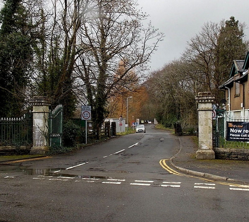
Entrance road to the site of the former
Aberdare Hospital (geograph 3863918).jpg
809:
161:
151:
718:
650:
604:
564:
520:
184:
196:
766:
Click on a date/time to view the file as it appeared at that time.
429:
379:
414:
51° 42′ 59.5″ N, 3° 26′ 27″ W
364:
51° 42′ 57.6″ N, 3° 26′ 24″ W
347:
Entrance road to the site of the former
Aberdare Hospital
328:
Entrance road to the site of the former
Aberdare Hospital
140:
131:
Entrance road to the site of the former
Aberdare Hospital
71:
469:
Add a one-line explanation of what this file represents
824:
764:
95:
Commons is a freely licensed media file repository.
571:
Creative
Commons Attribution-ShareAlike 2.0 Generic
545:
Creative
Commons Attribution-ShareAlike 2.0 Generic
61:(800 × 713 pixels, file size: 223 KB, MIME type:
292:https://creativecommons.org/licenses/by-sa/2.0
76:
298:Creative Commons Attribution-Share Alike 2.0
216:
167:
136:
118:
157:
146:
14:
698:
630:
258:– to copy, distribute and transmit the work
436:View this and other nearby images on:
386:View this and other nearby images on:
339:
107:
404:
354:
203:and is licensed for reuse under the
757:
239:Attribution-Share Alike 2.0 Generic
227:
222:
207:Attribution-ShareAlike 2.0 license.
13:
474:
468:
213:
190:
125:
108:
54:
842:
473:
825:
641:coordinates of the point of view
623:coordinates of the point of view
459:
442:
428:
420:
392:
378:
370:
269:Under the following conditions:
234:This file is licensed under the
226:
221:
215:
183:
75:
21:
456:
126:
761:
455:
191:This image was taken from the
26:
1:
709:coordinates of depicted place
691:coordinates of depicted place
656:51°42'57.578"N, 3°26'23.744"W
821:
481:Items portrayed in this file
419:
369:
7:
724:51°42'59.47"N, 3°26'26.92"W
10:
847:
283:same or compatible license
115:
110:
831:Aberdare General Hospital
758:
16:
458:
249:
82:This is a file from the
31:
815:
317:required by the license
139:
86:. Information from its
448:51.716520; -3.440810
398:51.715994; -3.439929
197:this photograph's page
89:description page there
36:Size of this preview:
794:23:27, 19 March 2020
345:Jaggery /
326:Jaggery /
264:– to adapt the work
42:Other resolutions:
819:
700:
632:
555:copyright license
541:copyright license
467:
453:
452:
403:
402:
352:
351:
320:
212:
211:
195:collection. See
176:
173:Reusing this file
104:
103:
84:Wikimedia Commons
838:
806:
768:
746:
745:
740:
678:
677:
672:
610:26 February 2014
511:copyright status
497:copyright status
465:
449:
446:
432:
431:
425:
424:
423:
417:
416:
405:
399:
396:
382:
381:
375:
374:
373:
367:
366:
355:
314:
305:
302:
299:
296:
293:
285:as the original.
247:
236:Creative Commons
230:
229:
225:
224:
219:
218:
205:Creative Commons
193:Geograph project
187:
180:
170:
142:
141:26 February 2014
130:
122:
116:
100:
79:
78:
72:
66:
64:
51:
48:539 × 480 pixels
44:269 × 240 pixels
38:673 × 600 pixels
846:
845:
841:
840:
839:
837:
836:
835:
827:
820:
812:
804:
760:
759:
756:
755:
754:
753:
752:
751:
750:
749:
748:
747:
743:
741:
738:
729:
728:
727:
725:
715:
714:
713:
711:
688:
687:
686:
685:
684:
683:
682:
681:
680:
679:
675:
673:
670:
661:
660:
659:
657:
647:
646:
645:
643:
620:
619:
618:
617:
616:
615:
614:
613:
611:
601:
600:
599:
597:
582:
581:
580:
579:
578:
577:
576:
575:
573:
561:
560:
559:
557:
538:
537:
536:
535:
534:
533:
532:
531:
529:
517:
516:
515:
513:
494:
493:
492:
491:
490:
488:
472:
471:
470:
447:
421:
412:
411:
408:Object location
397:
371:
362:
361:
358:Camera location
353:
342:
335:
323:
307:
306:
303:
300:
297:
294:
291:
290:
248:
245:
242:
231:
208:
152:geograph.org.uk
132:
120:
113:
106:
105:
94:
93:
92:is shown below.
68:
62:
60:
53:
52:
41:
12:
11:
5:
844:
834:
833:
823:
818:
817:
814:
810:
807:
801:
796:
791:
787:
786:
783:
780:
777:
774:
771:
763:
734:
733:
732:
731:
730:
726:
723:
721:
720:
719:
717:
716:
712:
707:
705:
704:
703:
702:
696:
692:
666:
665:
664:
663:
662:
658:
655:
653:
652:
651:
649:
648:
644:
639:
637:
636:
635:
634:
628:
624:
612:
609:
607:
606:
605:
603:
602:
598:
593:
591:
590:
589:
588:
586:
574:
569:
567:
566:
565:
563:
562:
558:
553:
551:
550:
549:
548:
546:
542:
530:
525:
523:
522:
521:
519:
518:
514:
509:
507:
506:
505:
504:
502:
498:
489:
484:
482:
479:
478:
477:
476:
464:
463:
460:
457:
451:
450:
440:
434:
409:
401:
400:
390:
384:
359:
350:
349:
343:
340:
337:
336:
331:
324:
321:
309:
308:
289:
288:
287:
286:
276:
267:
266:
265:
259:
252:You are free:
243:
233:
232:
214:
210:
209:
188:
177:
165:
164:
159:
155:
154:
148:
144:
143:
138:
134:
133:
123:
114:
112:
109:
102:
101:
80:
70:
69:
35:
30:
29:
24:
19:
9:
6:
4:
3:
2:
843:
832:
829:
828:
813:
808:
802:
800:
797:
795:
792:
789:
788:
784:
781:
778:
775:
772:
770:
769:
767:
737:
722:
710:
706:
669:
654:
642:
638:
608:
596:
592:
572:
568:
556:
552:
528:
524:
512:
508:
487:
483:
480:
461:
454:
445:
441:
439:
438:OpenStreetMap
435:
433:
415:
410:
407:
406:
395:
391:
389:
388:OpenStreetMap
385:
383:
365:
360:
357:
356:
348:
344:
338:
334:
330: /
329:
325:
318:
313:
311:
310:
295:CC BY-SA 2.0
284:
280:
277:
274:
271:
270:
268:
263:
260:
257:
254:
253:
251:
250:
244:Attribution:
240:
237:
220:
206:
202:
198:
194:
189:
186:
182:
181:
178:
174:
169:
166:
163:
160:
156:
153:
149:
145:
135:
129:
124:
117:
98:
91:
90:
85:
81:
74:
73:
67:
58:
57:Original file
49:
45:
39:
34:
28:
25:
23:
20:
18:
15:
765:
762:File history
418:
368:
346:
333:CC BY-SA 2.0
327:
278:
272:
261:
255:
200:
127:
97:You can help
87:
55:
22:File history
527:copyrighted
501:copyrighted
312:Attribution
279:share alike
273:attribution
119:Description
822:File usage
803:800 × 713
779:Dimensions
168:Permission
63:image/jpeg
27:File usage
811:Dormskirk
776:Thumbnail
773:Date/Time
595:inception
585:inception
341:InfoField
322:InfoField
128:English:
805:(223 KB)
462:Captions
262:to remix
256:to share
241:license.
790:current
785:Comment
736:heading
695:heading
668:heading
627:heading
486:depicts
466:English
246:Jaggery
201:Jaggery
162:Jaggery
111:Summary
59:
744:degree
699:degree
676:degree
631:degree
426:
376:
158:Author
147:Source
150:From
782:User
742:315
674:315
304:true
301:true
137:Date
17:File
739::
671::
46:|
40:.
319:)
315:(
175:)
171:(
99:.
65:)
50:.
Text is available under the Creative Commons Attribution-ShareAlike License. Additional terms may apply.
.jpg)

.jpg¶ms=051.715994_N_-003.439929_E_globe:Earth_type:camera_source:geograph-osgb36(SO00620290)_heading:315.00&language=en)
.jpg¶ms=051.716520_N_-003.440810_E_globe:Earth_class:object_type:object_source:geograph-osgb36(SO00560296)_heading:315.00&language=en)